Boise Loop: Sawtooths, Salmon River, and Lolo Pass
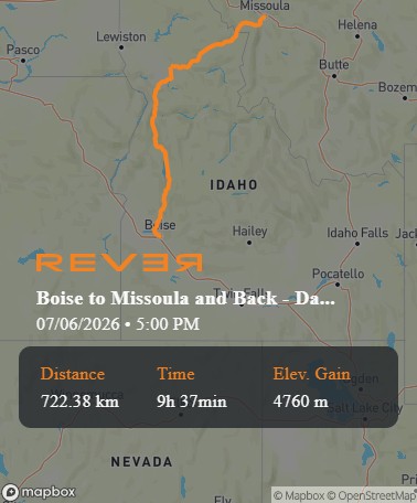
Some rides look simple on a map but feel much larger once the wheels start turning. This Boise-to-Missoula overnight loop is one of them. It begins in Idaho’s capital, climbs quickly into the mountains, runs through Stanley and the Salmon River country, crosses into Montana’s Bitterroot Valley, then returns by way of Lolo Pass and north-central Idaho before dropping back toward Boise.
The route is not complicated. Boise to Stanley. Stanley to Ellis. Ellis to Missoula. Missoula to Kooskia. Kooskia back to Boise. But those simple waypoints pull together several of the Northwest’s most rewarding sport touring ingredients: sweeping mountain highways, river canyons, small-town fuel stops, big views, historic corridors, and enough saddle time to make an overnight ride feel like a real escape.
For Boise-area riders, the appeal is obvious. You can leave home in the morning, be deep into central Idaho before lunch, sleep in Missoula, and return the next day on a completely different road. It is a true loop, not an out-and-back, and that makes all the difference.
Boise to Stanley: Climbing Into the Ride
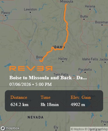
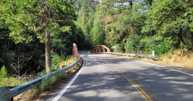
The first leg heads northeast out of Boise on Idaho 21, the Ponderosa Pine Scenic Byway. Visit Idaho describes this route as beginning in Boise, passing through historic Idaho City and Lowman, and continuing toward Stanley at the base of the Sawtooth Mountains. The byway runs 131 miles and follows portions of the South Fork of the Payette River while passing through Boise, Salmon-Challis, and Sawtooth National Forest country.
For experienced riders, this is a proper warm-up rather than a transit stage. The road climbs away from the city, works into timber, and begins delivering the kind of rhythm that makes a loaded sport tourer feel right at home. There are corners, elevation changes, river sections, and enough open space to settle into the day without feeling rushed.
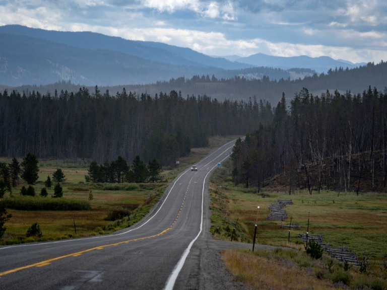
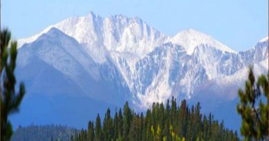
Idaho City makes a natural early stop, especially for riders who want coffee, a short walk, or a quick look at one of Idaho’s old mining towns. Lowman is another useful checkpoint before the route bends deeper into the mountains. From there, the ride toward Stanley becomes increasingly scenic, with the Sawtooths eventually becoming the visual anchor of the day.
Stanley is more than a waypoint. It is one of those mountain towns where riders tend to linger, partly because the setting makes it hard not to. Fuel here if needed, take time for the view, and treat Stanley as the real threshold of the trip. From this point north, the ride becomes more remote and more expansive.
Stanley to Ellis: Following the Salmon River Country
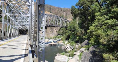
From Stanley, the route turns into the Salmon River corridor, one of Idaho’s signature riding landscapes. Visit Idaho lists the Salmon River Scenic Byway at 163 miles and describes it as following the Salmon River through rugged country with access to ghost towns, historical sites, outdoor recreation, and views of the Sawtooth Mountains.
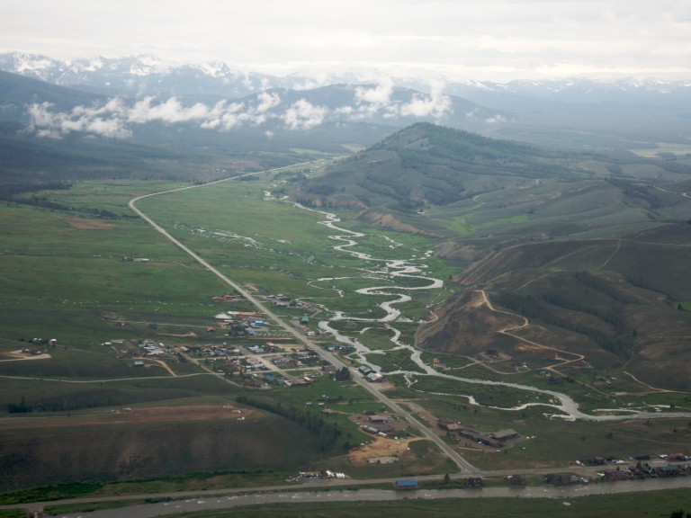
This section has a different personality from the Boise-to-Stanley climb. The road opens, the country grows wider, and the river becomes the route’s companion. Instead of a pure mountain pass experience, this is canyon-and-river riding, with long sightlines, bends that flow with the terrain, and scenery that feels distinctly Idaho.
Challis is the practical midpoint of this stretch and a good place to top off, especially for riders who prefer not to gamble on small-town fuel availability late in the day. Ellis itself is tiny, but as a waypoint it matters because it marks the transition from the central Idaho river country toward the longer push north to Montana.
This is also where the ride begins to demand full attention. The scenery encourages relaxed progress, but the route is still remote in places. Wildlife, changing light, and limited services are all part of the experience. This is not difficult riding in a technical sense, but it rewards those who manage fuel, hydration, and daylight with the same care they give corner entry speed.
Ellis to Missoula: North Through the Bitterroot
From Ellis, the route heads north toward Salmon, Lost Trail Pass, and the Bitterroot Valley before reaching Missoula. This is the bridge between Idaho’s interior and western Montana, and it gives the first day a satisfying sense of progress. The ride moves from river corridor to mountain pass to valley run, gradually trading Idaho’s tight terrain for Montana’s broad sweep.
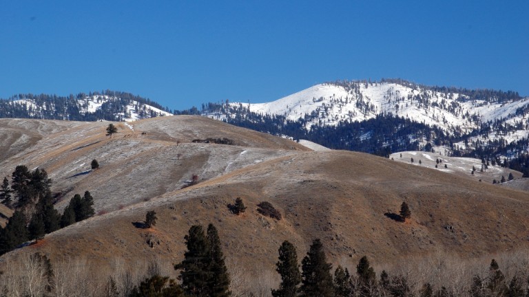
U.S. 93 carries much of this movement north. Lost Trail Pass is the obvious high-country moment, followed by a run down the Bitterroot side toward towns such as Darby, Hamilton, and Stevensville before Missoula. The pace here can feel more open than central Idaho, but it remains mountain-country riding, with weather and temperature capable of changing quickly.
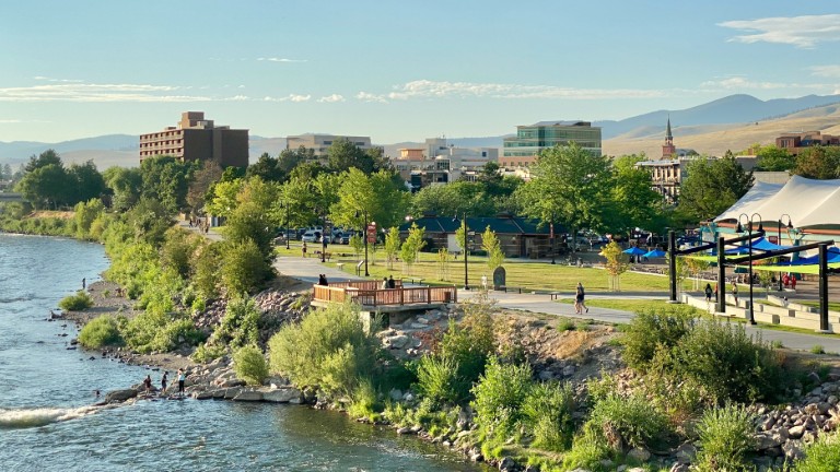
Missoula makes an excellent overnight stop because it gives the ride a real destination rather than simply a place to sleep. It has enough hotels, restaurants, breweries, and walkable downtown energy to reward the effort of getting there. For a two-day sport touring loop, those things matter. A good overnight town should let the one park, decompress, and feel like the trip has reached somewhere worth reaching.
Missoula to Kooskia: The Lolo Pass Payoff
The return leg begins with one of the great paved crossings of the northern Rockies: U.S. Highway 12 over Lolo Pass. The National Park Service describes U.S. 12, also known as the Lewis and Clark Highway, as running between Greer, Idaho, and Fort Fizzle in Montana over Lolo Pass. It notes that this is a paved, two-lane highway with speed limits of 50 mph or less, few turnouts, and limited passing opportunities.
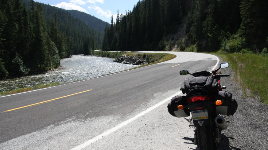
That last point is important. Lolo Pass is famous with riders for good reason, but it is not a racetrack. Its best quality is flow. The road follows water and terrain, linking curves through forested mountains and river country in a way that feels almost purpose-built for a composed sport touring machine. Ride it cleanly, give yourself space, and let the road come to you.
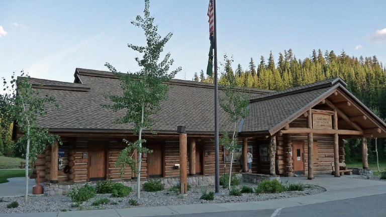
Just southwest of Missoula, the route climbs toward the Montana-Idaho border. Destination Missoula describes the Lolo Pass and Highway 12 corridor as a ride with rushing rivers, mountain scenery, historic trails, and hot springs in the region. The Lolo Pass Visitor Center is also worth considering as a short stop, particularly for riders interested in Lewis and Clark history, Nez Perce history, or simply a restroom and stretch break near the summit. The Forest Service notes that restrooms are available 24 hours a day for travelers on the U.S. 12 corridor.
From the pass, U.S. 12 continues west through Idaho toward Kooskia, following a path that feels remote, wooded, and deeply tied to the Clearwater country. This section can be one of the highlights of the entire loop, but it is also long enough that fuel planning matters. Riders should not assume every small dot on the map has fuel, food, or reliable hours.
Kooskia is a useful reset point after the pass. It gives the return day a natural pause before the route turns south toward Boise.
Kooskia to Boise: The Long Run Home
The final leg from Kooskia back to Boise changes the ride again. After the dense mountain character of U.S. 12, the route south gradually becomes a broader Idaho return run. Depending on exact mapping and conditions, this leg generally uses U.S. 95 south and then Idaho 55 toward the Boise area.
This is the part of the ride where handling fatigue becomes more important than watching the scenery. The loop has already delivered mountains, rivers, passes, and a night away. The final stretch is about staying sharp, taking breaks before they are needed, and resisting the temptation to treat the last hours as merely a commute home.
For riders returning on Idaho 55, the final approach toward the Treasure Valley can still offer good riding, especially along the Payette River corridor. But traffic can build as the route nears Boise, and the mental shift from remote riding to mixed traffic can be abrupt. Keep something in reserve for the finish.
When to Ride It
This loop is best treated as a late spring through early fall ride, with the most comfortable window generally coming after high-country winter conditions have cleared and before autumn weather becomes unpredictable. Because the route crosses mountain terrain and includes high passes, conditions can change quickly.
Before leaving, check Idaho 511 and Montana 511 for construction, closures, incidents, and weather-related road conditions.
Why It Works for Sport Touring
This is not a short scenic detour. It is a real sport touring ride, the kind that rewards motorcycles that combine sport bike performance and agility with long-distance comfort and convenience. The route mixes technical sections with faster open stretches, destination towns with remote corridors, and familiar Idaho riding with the satisfaction of crossing into Montana and returning by a different path.
It also has the right overnight rhythm. Day one builds from Boise into the Sawtooths, follows the Salmon River country, then finishes in Missoula. Day two answers with Lolo Pass, the Clearwater corridor, and a long run home. Each day has its own identity, and neither feels like filler.
For riders based in Boise, this loop is a reminder that a serious overnight ride does not require weeks of planning or a distant starting point. The mountains are already close. The roads are already there. Point the bike toward Stanley, keep Missoula in mind for the night, and let the loop do what good sport touring routes do best: turn a couple of days into something that feels much bigger.
Ride Notes
- Route Waypoints: Boise, Idaho → Stanley, Idaho → Ellis, Idaho → Missoula, Montana → Kooskia, Idaho → Boise, Idaho
- Best approach: Two-day overnight sport touring loop
- Primary roads: Idaho 21, Idaho 75/U.S. 93, U.S. 12 (Lolo Pass), U.S. 95, Idaho 55
- Character: Mountain byways, river corridors, high passes, small towns, long-distance riding
- Recommended overnight stop: Missoula, Montana
- Watch for: Wildlife, limited services, changing mountain weather, construction, fuel gaps, and fatigue on the return leg
Resources
Route and tourism information
- Visit Idaho: Ponderosa Pine Scenic Byway – Useful background on the Boise-to-Stanley portion of the loop, including Idaho City, Lowman, Stanley, and the Sawtooth region.
- Visit Idaho: Salmon River Scenic Byway – Information on the Salmon River corridor between Stanley, Challis, Salmon, and the surrounding central Idaho riding country.
- Destination Missoula: Lolo Pass and Highway 12 – Visitor information for the Missoula side of Lolo Pass, including the Highway 12 corridor, mountain scenery, hot springs, and nearby attractions.
- National Park Service: Lolo Trail and Lolo Pass – Historical and travel context for U.S. Highway 12 over Lolo Pass, including Lewis and Clark and Nez Perce history.
- U.S. Forest Service: Lolo Pass Visitor Center – Visitor center information for riders crossing Lolo Pass, including restroom access and seasonal services.
Road conditions
- Idaho 511 – Current Idaho road conditions, closures, incidents, construction, traffic cameras, and weather-related travel advisories.
- Montana 511– Current Montana road conditions, construction, incidents, restrictions, and traffic cameras.
- Idaho Transportation Department Traveler Services – Idaho Transportation Department travel resources, including links to road reports, winter driving information, and highway updates.
- Montana Department of Transportation Traveler Information – Montana DOT travel information, including road conditions, restrictions, incidents, and construction resources.
Was this article helpful?
Thank you for your feedback!
Please email the editor with any additional comments.
Your feedback is used only by American Sport Touring. We do not store or sell your information.
Please read our Privacy Policy.